Hiking Guide: Whitehall Reservoir Loop

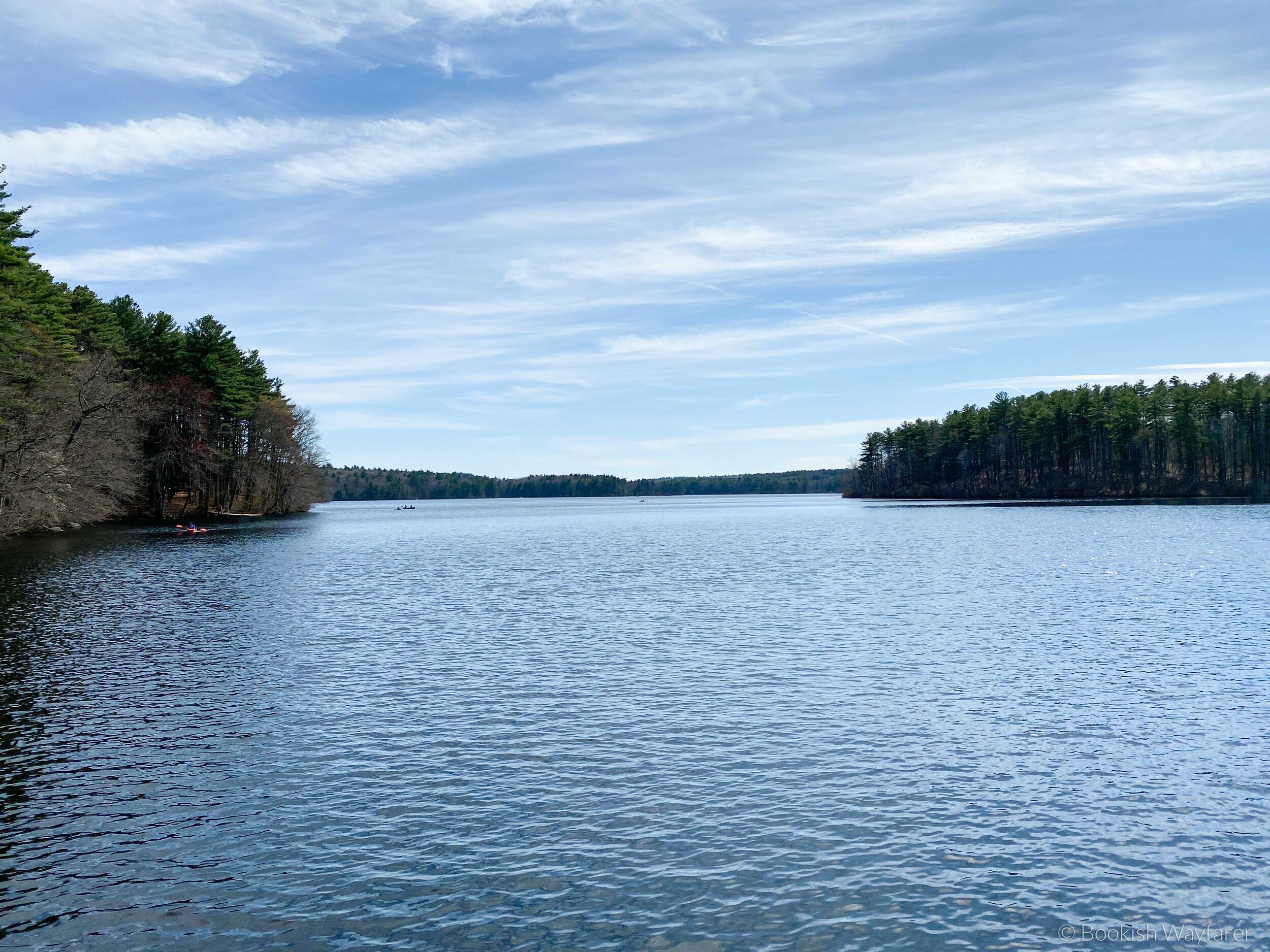
View of the Whitehall Reservoir from the trail
Some links in this post are affiliate links, meaning I will earn a commission (at no extra cost to you) if you click through and make a purchase. For more info, please see my disclaimer.
Trail Basics
Trail name: Whitehall Reservoir Loop (AllTrails map)
Location: Hopkinton, MA, USA
Length: 7.4 miles
Elevation gain: 269 feet
Trail traffic: Moderate
Time to complete: 3 hours and 19 minutes (including a 20-minute lunch break)
Difficulty: Moderate
Overall rating: 4.0/5.0
My Thoughts
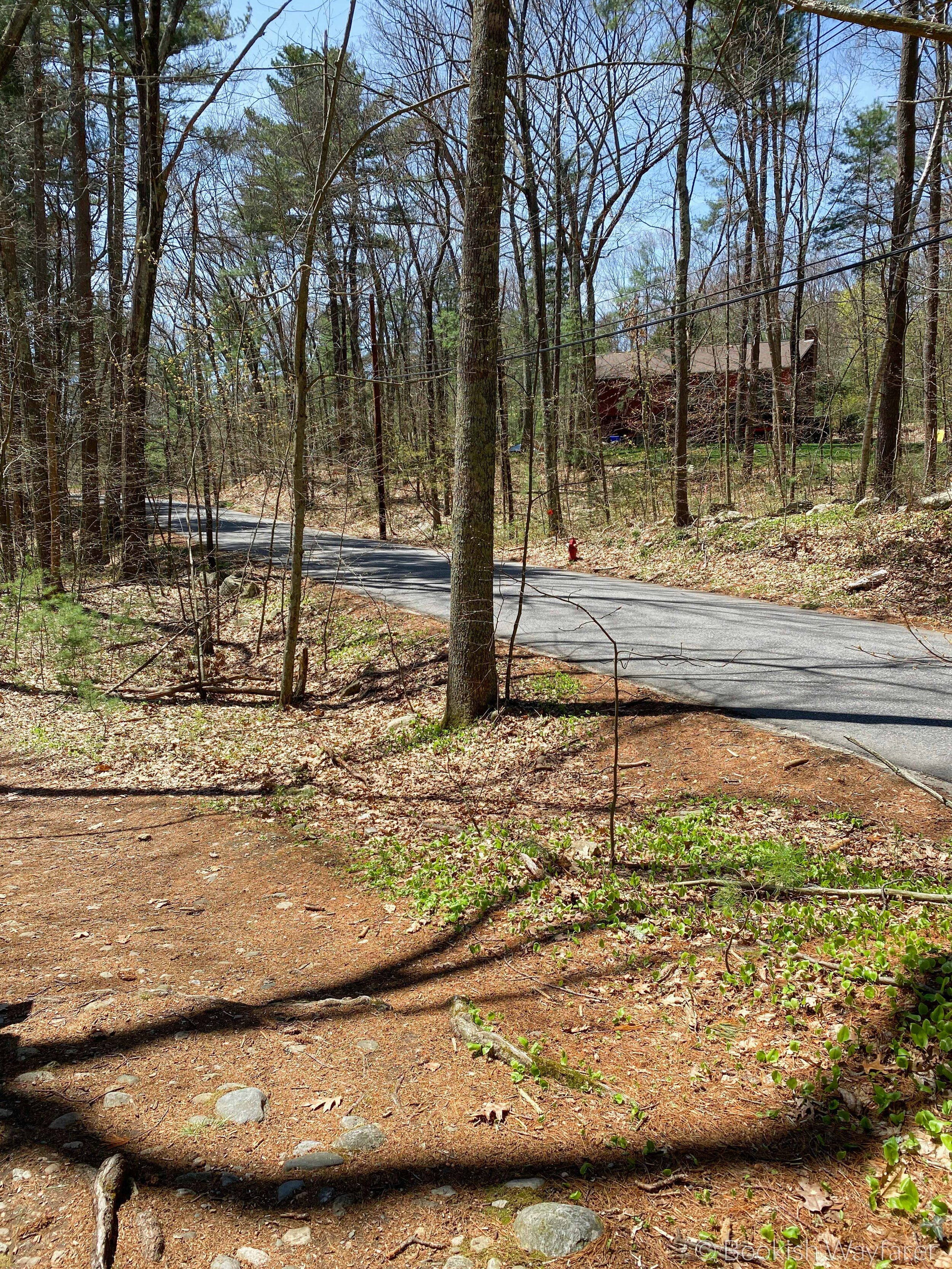
The Whitehall Reservoir Loop traces the perimeter of the Whitehall Reservoir. The trail never veers far from the water’s edge, so you are almost always afforded a scenic waterfront view. Unfortunately, the path also does not stray far from the road or people’s properties, so your views of the reservoir are often accompanied by the sights and sounds of cars or people out and about in their backyards. This latter characteristic was a bit of a disappointment, as when I go for a hike, I like to escape from people and the sounds of everyday life.
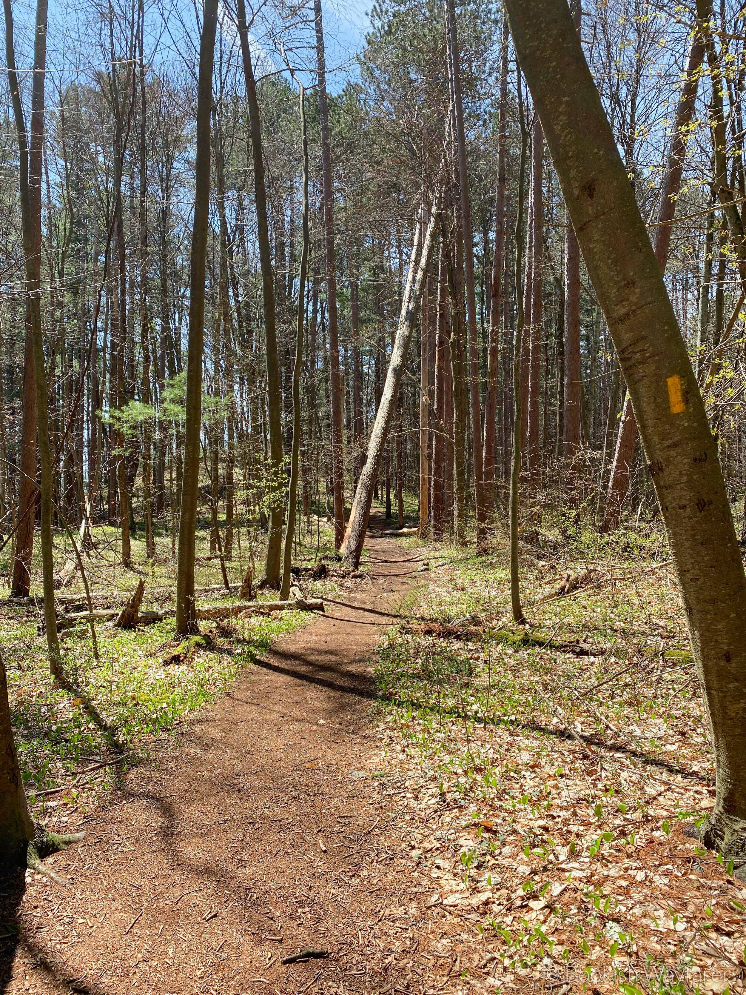
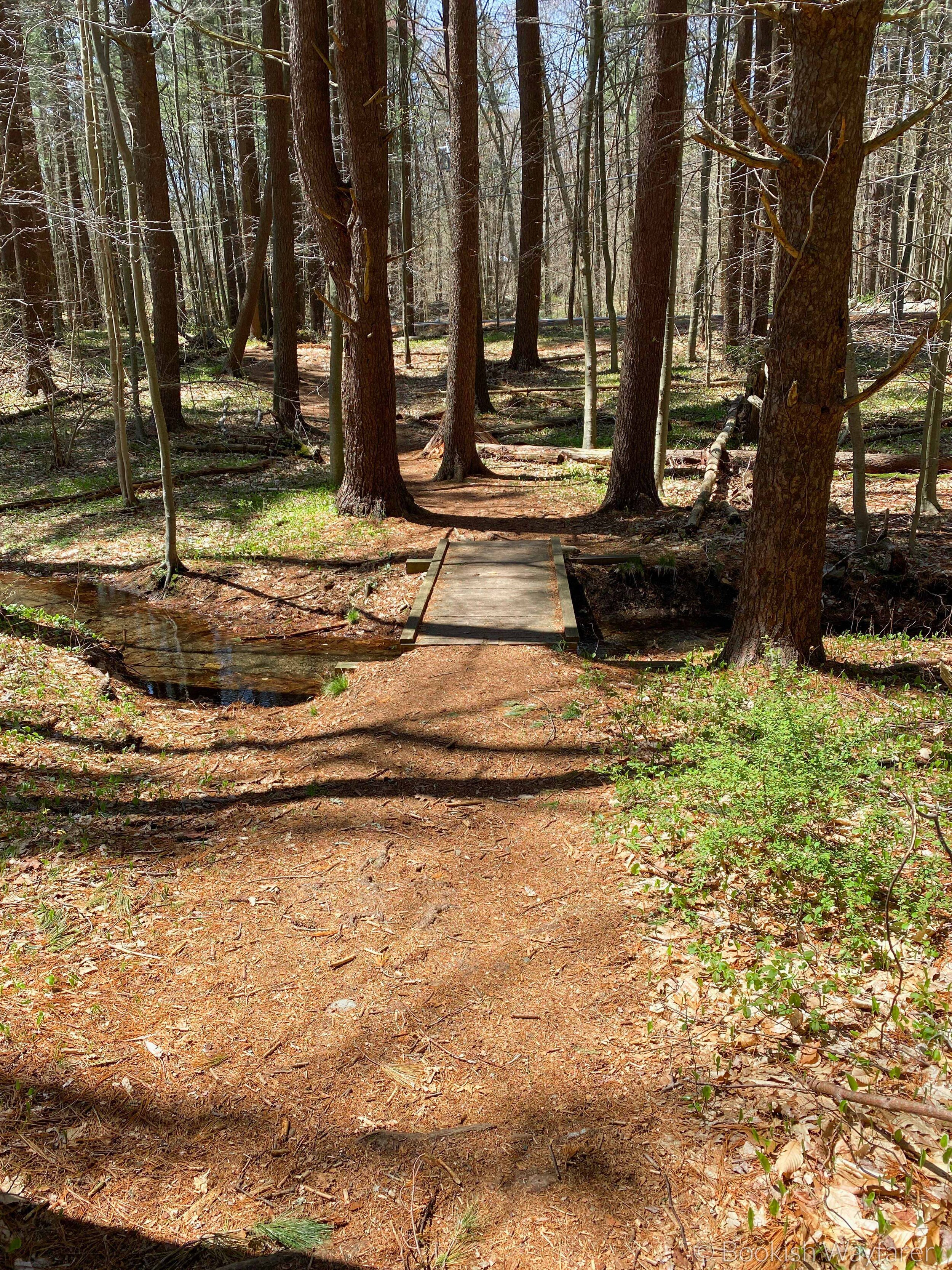
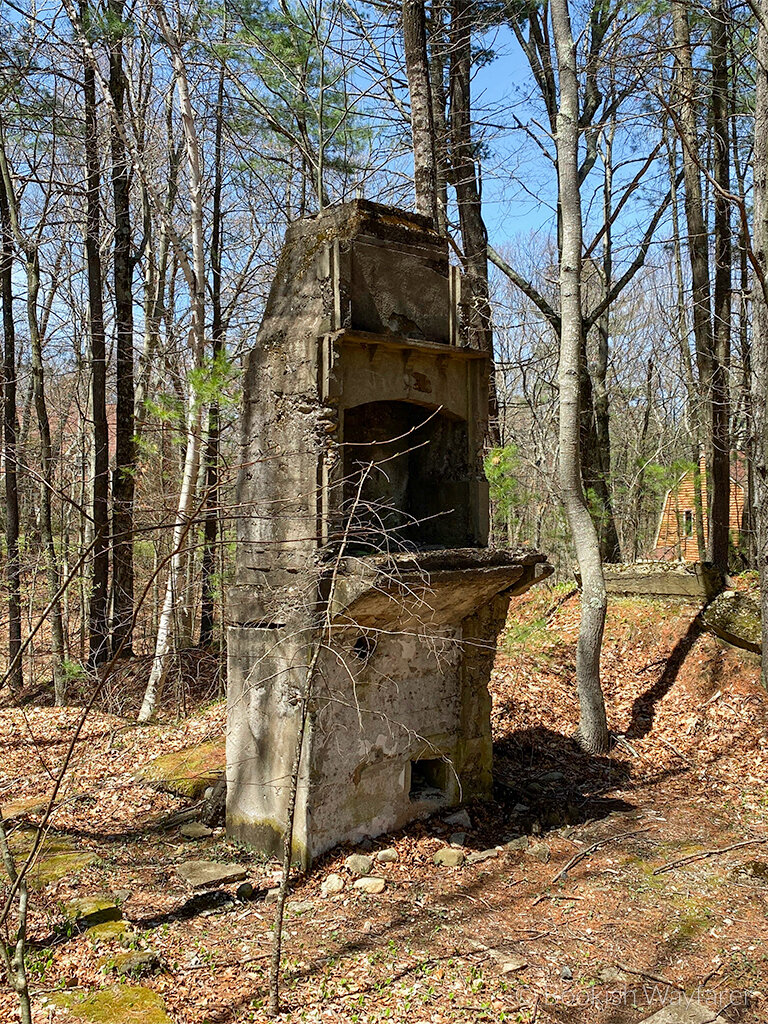
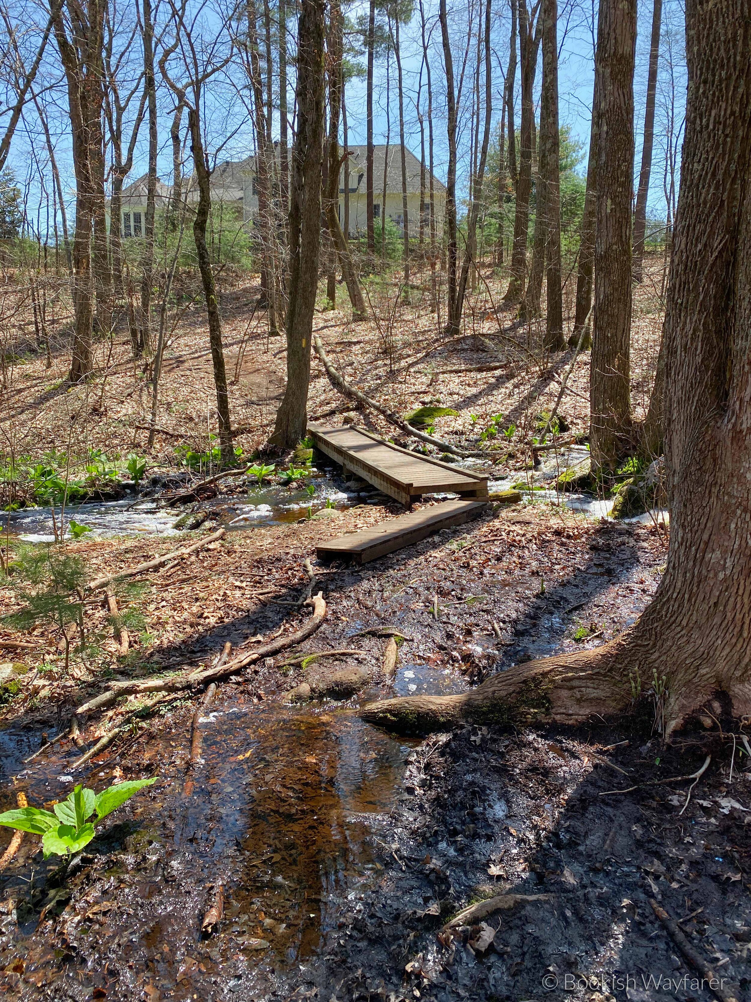
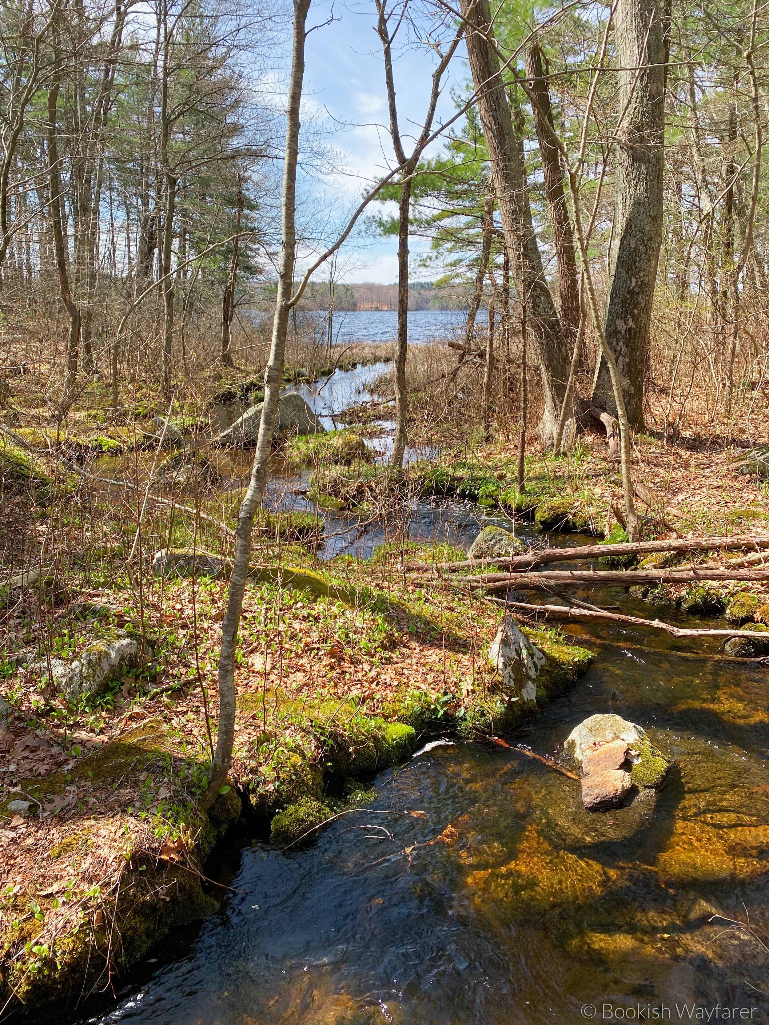
The trail, however, does have several redeeming qualities, including a number of streams that bisect the path. I find that streams, with their relaxing sound and mesmerizing flow, enhance the sense of calm that I gain from a hike. I also enjoy the path variability that results from streams, for where there are streams, there are boardwalks and/or bridges. Trails that consist entirely of dirt paths can become monotonous; periodic shifts from dirt to boardwalk or stone keep a trail visually interesting and enjoyable. Other notable features of this trail include the slightly eerie ruins of a house (only the fireplace and part of the foundation remain) and pull-offs down by the shore where you can sit and have lunch.
Helpful Tidbit
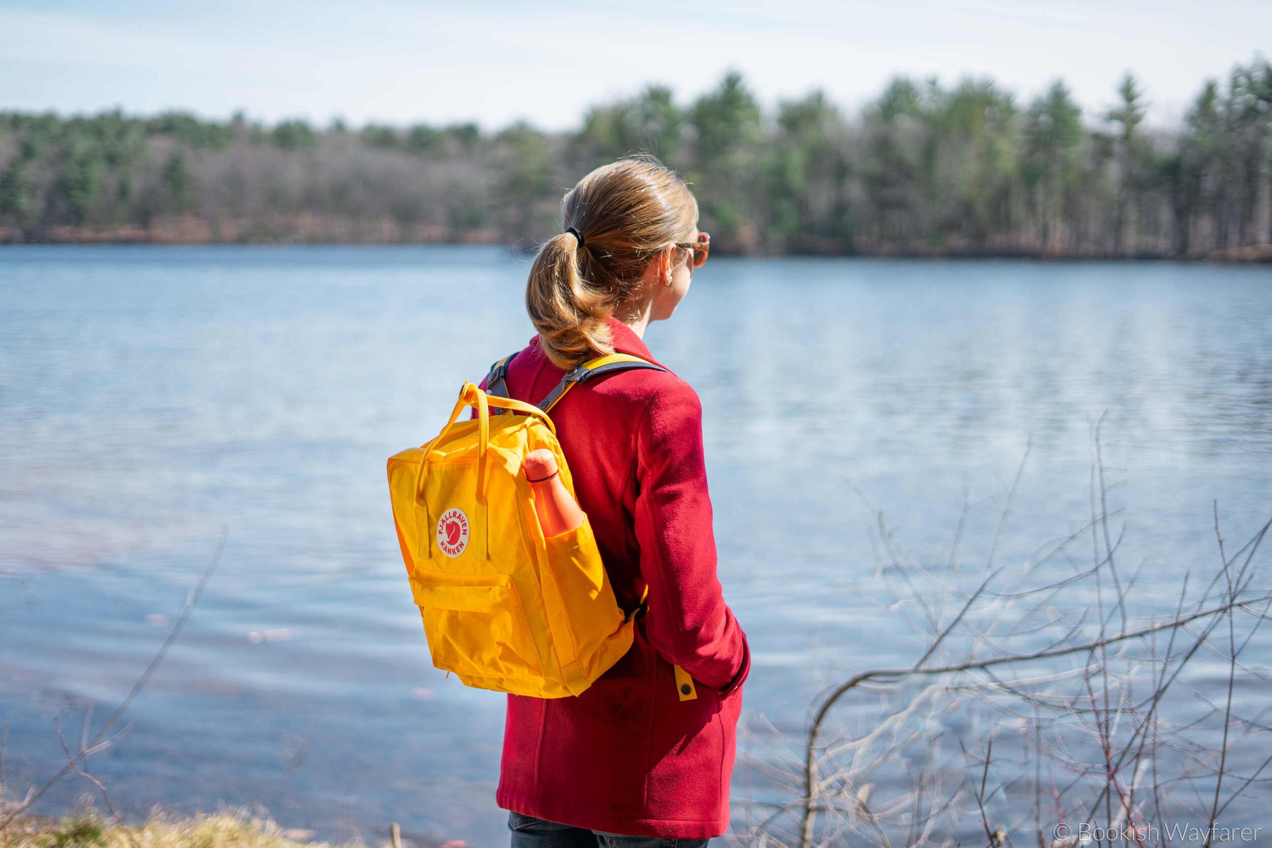
Wondering what shoes to wear or water bottle to pack? Here are a few of my gear recs.
Shoes: As this trail lacks any major ascents/descents, you can probably get away with not wearing hiking boots, but I would recommend wearing a pair of hiking shoes, preferably waterproof ones. Lowa’s Renegade EVO GTX LO hiking shoes have a GORE-TEX lining and come pre-treated with waterproof spray (though, per the care guide, you will have to periodically reapply some waterproof spray).
Socks: People often overlook the importance of a good pair of socks when hiking. I like these hiking socks from Bomba; they are breathable and help to wick away moisture (because nobody wants sweaty, stinky feet).
Backpack: You’re going to need a backpack to store food, water, and other odds and ends. Sadly, the hiking backpack I own is no longer made, but were I to buy a new one, I’d go with Osprey’s Tempest 22 Pack (Osprey also makes a version for men).
Water Bottle: I like to bring a smaller water bottle, such as this 16-ounce one from Nalgene, which I keep accessible in my pack’s side pocket. Additionally, I bring at least one (the precise number depends on the length of the hike) larger water bottle, such as this 48-ounce one from Nalgene, which I store inside my pack and use to refill my smaller bottle.
Tick Remover: This is an item that I always keep stored in my pack, but pray that I won’t have to use. Ticks, however, are an unfortunate reality when it comes to hiking. I like the Tick Twister tick remover. Although I have never had to use it on myself, I have tested it on my family’s dogs, and it works great.
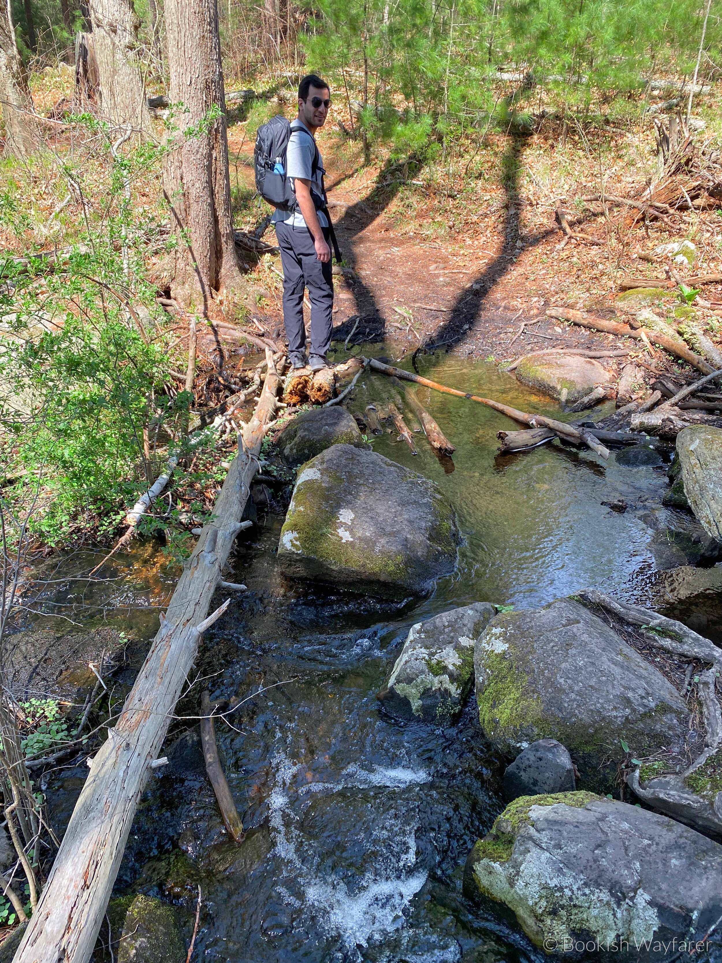
In terms of the trail conditions, the majority of the trail consists of a dirt path, so the trail can become muddy and washed out in parts following a rainstorm (as was the case when my husband and I hiked it). The trail has the usual tripping hazards associated with dirt paths: tree roots, rocks, and divots. As noted above, there are a number of streams that cut across the trail, and while most of them have a bridge for easy crossing, a couple do not. For these streams, you have to either deal with walking through the water or play hopscotch from one stone to the next. Most of the trail is in the woods under shade, but there are a few portions of the trail where you are exposed to the sun. The trail is fairly well signposted, but there were several areas where I had to use my AllTrails map to figure out which direction the trail took.
As this is a decently long day hike, be sure to pack plenty of water and food. If you own a pair of waterproof hiking shoes, I would recommend wearing them due to the mud and stream crossings.
Overall
Whitehall Reservoir Loop is a decent hike for when you feel like getting outside for a few hours. It has just enough hills to give you a workout.
-Julia
P.S. If you enjoyed this post, please consider supporting me on Buy Me a Coffee.